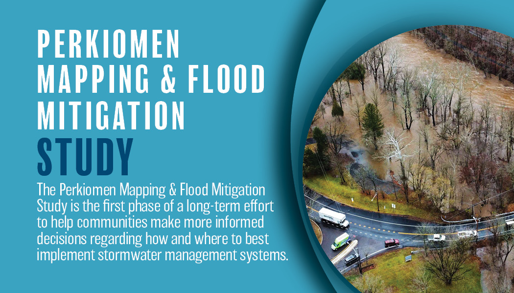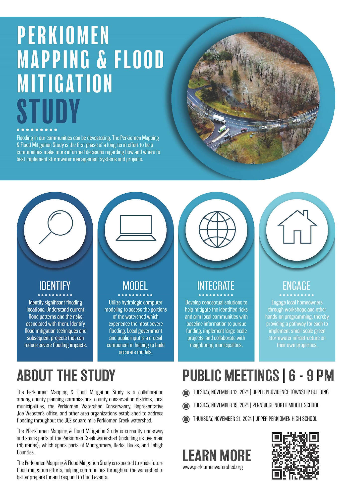
The Perkiomen Mapping and Flood Mitigation Study is underway, led by Representative Joe Webster’s office and the Montgomery County Planning Commission. A public meeting will be held tomorrow, Thursday, November 21, 2024 starting at 6:00pm with a formal presentation at 7:00pm at Upper Perkiomen High School (2 Walt Road, Pennsburg, PA 18073).
The goals of the planning effort are to identify significant flooding locations throughout the 362 square mile watershed, model the watershed to better understand the hydrology of areas that flood, develop conceptual solutions to help mitigate identified risks and arm communities with baseline information to pursue funding for project implementation, and engage the public and property owners to better understand stormwater and provide pathways for implementation of smaller-scale stormwater mitigation techniques on their own properties.
The Perkiomen Mapping and Flood Mitigation Study is expected to guide future flood mitigation efforts, helping communities throughout the watershed to better prepare for and respond to flood events. More information and a public survey can be found on the flood study website here: https://www.perkiomenwatershed.org/perkiomen-flood-study.


